A CAMERA, NOT A CENSUS
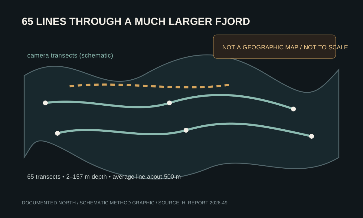
The map is built from lines across a much larger fjord.
In the summer of 2025, the Institute of Marine Research towed a camera rig along 65 lines through inner Porsangerfjord. The lines were selected to sample different depths and habitats, with extra coverage around places where scallops, shallow kelp or maerl were expected.
The average transect was about 500 metres, but lengths ranged from 150 to 2,700 metres. Weather, currents, depth and steep terrain limited where the camera could go. HI says the resulting observations can support later modelling, but point observations alone do not draw a complete map of the seabed.
WHAT SHOWED UP
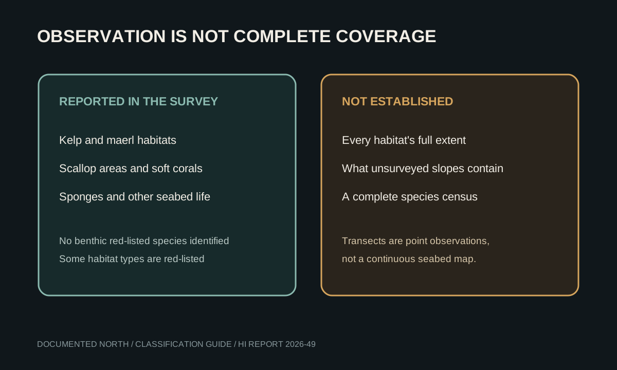
Habitat records are not the same as a red-listed species count.
The report describes a mix of seabed communities, including kelp, maerl, scallop areas, soft corals and several sponge species. It says no benthic red-listed species were identified in the survey. Separately, some habitat types—such as maerl beds—are listed as threatened or at risk. Those statements refer to different things and should not be collapsed into a single claim that the fjord is either empty or fully protected.
HI also records soft-coral occurrences and sponges, while cautioning that the observed sponge abundance and size did not meet its classification criteria for sponge grounds. The report points to deeper and steeper areas as places where further work could find additional habitat.
A SEPARATE FISHERY FILE
Outer-fjord shrimp data cannot fill inner-fjord mapping gaps.
A separate HI report covers a trial shrimp fishery in the outer part of Porsangerfjord. It uses another geography and asks different questions. Its catch and quota data do not establish what trawling has done to the habitats mapped in inner Porsangerfjord.
The practical next step is better spatial coverage and monitoring tailored to each habitat—not treating two different reports as one continuous dataset.